Over the holiday break I had hoped to go on a decent hike somewhere in the Angeles National Forest. Then the rains came and when the rains come the roads are a mess up in the mountains. So I looked for something a little more local and happened upon the Griffith Park Traverse as posted on California Through My Lens. Thanks to their thorough description I was able to plot the hike on GaiaGPS and off I went to hike across the largest urban park in the country.
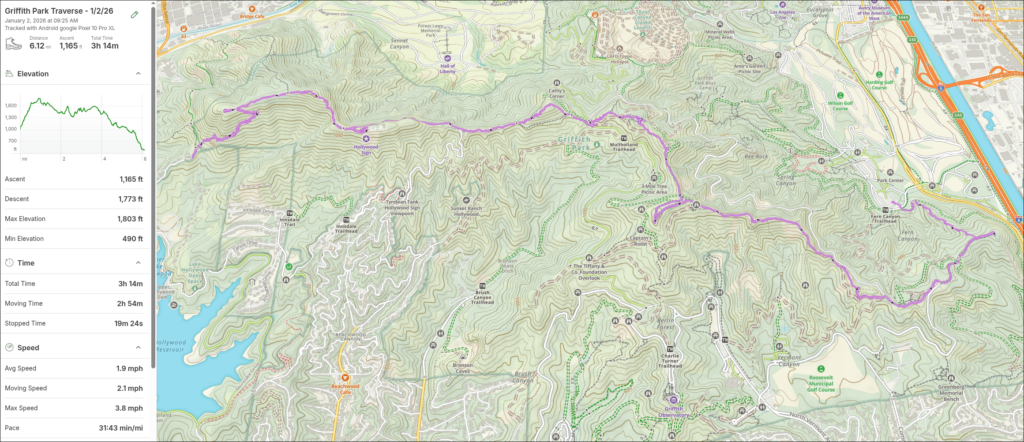
The initial climb up to Burbank Peak was steep (the graph in the above screenshot doesn’t lie) but that first view of the Los Angeles basin was pretty spectacular.
Burbank Peak

My hope was to take a panorama from every peak but the weather caught up with me about half way through. I did grab a few though.
Cahuenga Peak

After Cahuenga Peak it was on to Mt. Lee which is the most famous peak because, well, they put a big ol’ sign on it. After 25 years in LA I finally got up there.
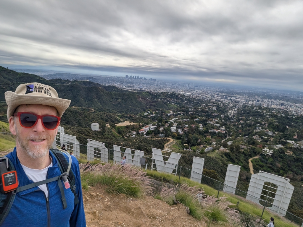
Mt. Chapel

The views of Griffith Observatory were excellent though it was easy to lose it in the sprawling city below.
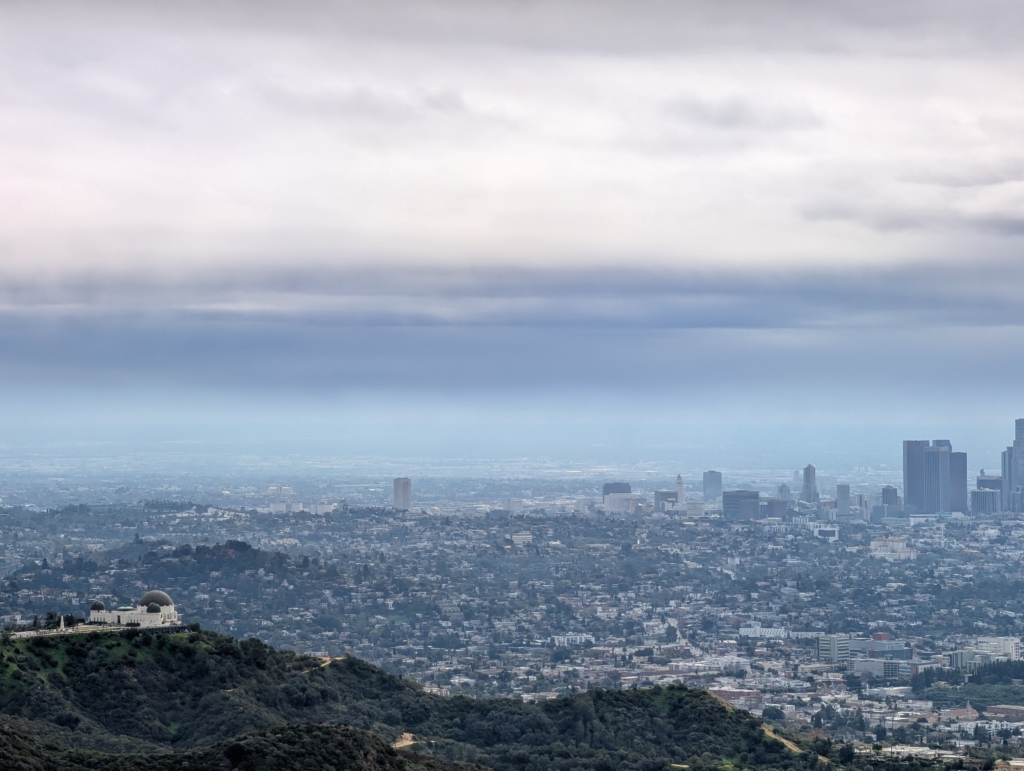
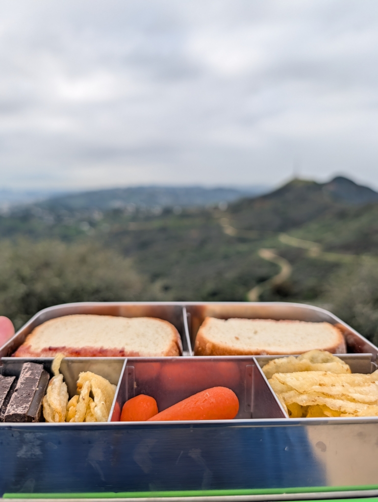
I stopped for lunch on Taco Peak to eat…a peanut butter & jelly sandwich. I’m glad I stopped there because the rain started shortly after I continued on.
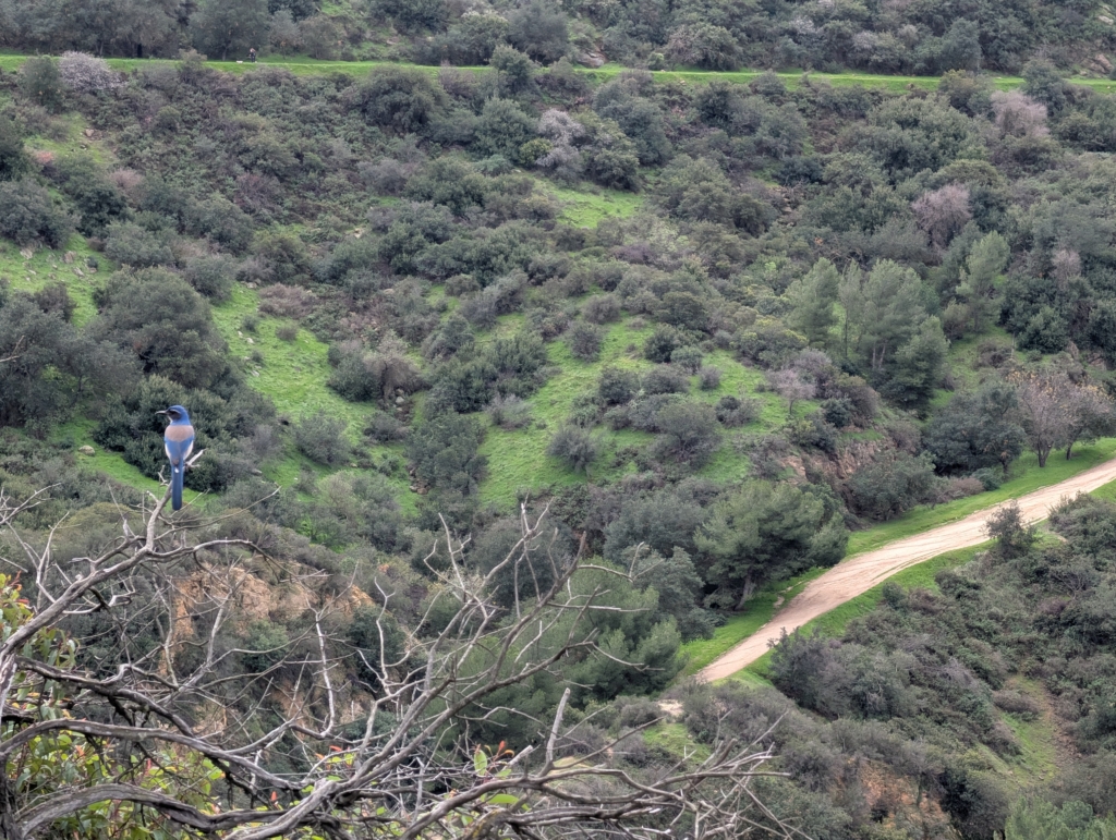
A Scrub Jay hung out with me while I ate. It may have been waiting for me to drop something.
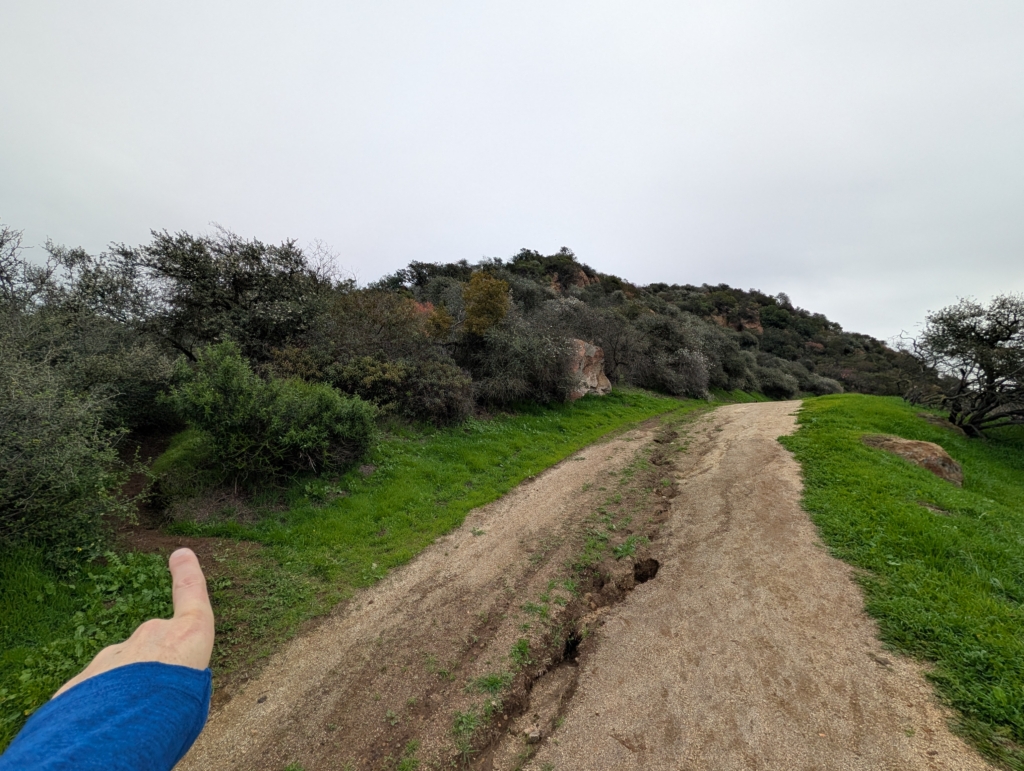
Sometimes the next turn is elusive. Almost walked right by the trail.
Mt. Hollywood

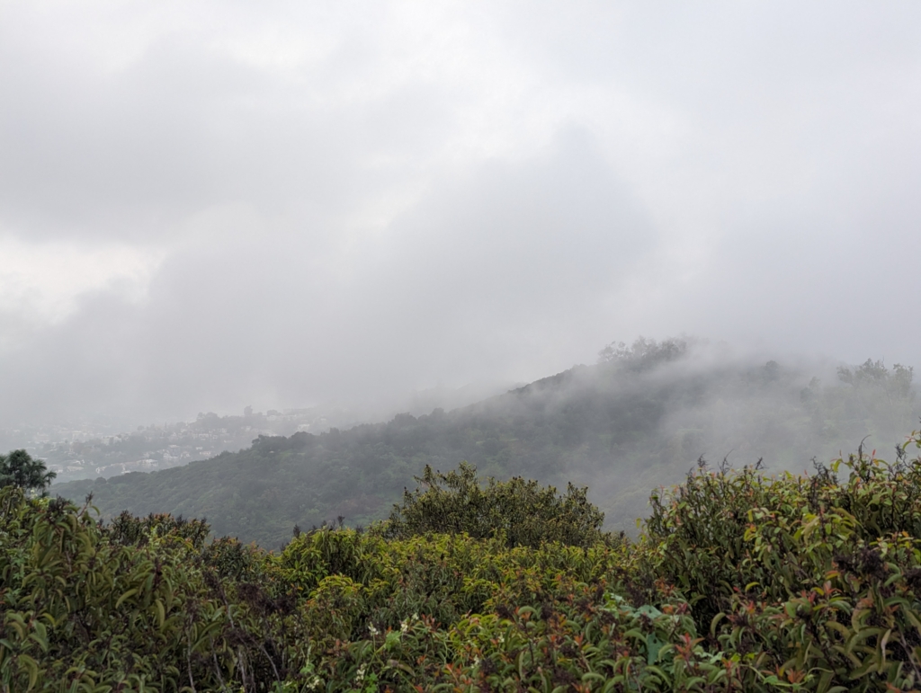
The rain was here to stay…
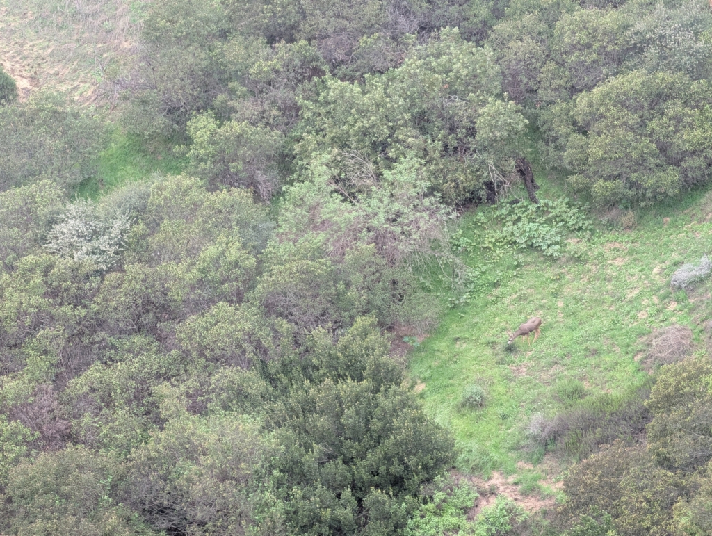
Caught a glimpse of a deer munching some grass.
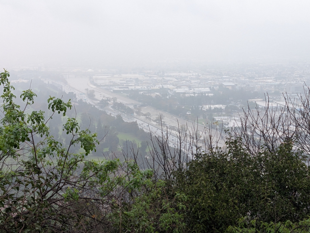
From Bunker Hill the 5 and the LA River look almost the same. A little more water in the river but only a little.
Despite the rainy second half of the hike it was a great trek and right in the middle of the city. It was about 6 miles start to finish and took a little over 3 hours. Much of the hike is exposed so this is definitely a late fall, winter, and early spring hike. Over the course of the 6 miles I hit:
- Burbank Peak
- Cahuenga Peak
- Mt. Lee
- Mt. Chapel
- Baby Bell
- Mt. Bell
- Taco Peak
- Mt. Hollywood
- Hogback Peak
- Glendale Peak
- Bunker Hill
#socal #losangeles #hiking #griffithpark