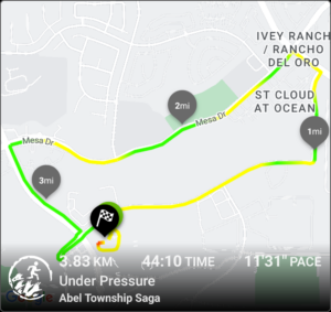


I’m a fan of weight training. Everyone should do some sort of resistance training and picking heavy things up and putting them back down is the kind I like best. I’ve been through multiple routines and multiple apps for tracking progress and you must track progress or risk spinning your wheels, getting bored, and quitting. I’m currently doing GZCLP which isn’t the focus of this post but the app I’m using. Ahhh the app. I happened upon Liftosaur a few months ago and it has so nailed what I was looking for in an app that I’m compelled to take a minute and type this all out.
Now, their tag line is “Fitness Tracking for Coders” and I assure you I’m no coder. The app is highly configurable and I’m sure will do amazing things if one wants to go and apply their coding skills to it. I’m using it as is to track my routine and it has managed to walk the line between simple to use and highly configurable. There are a bunch of routines built into the app so you can jump in and get started right away AND the developer has an open Discord server in which they are super responsive to feedback and bug reports.
All the tracking is great but they did one more thing that I appreciate and have missed since the days of Fitocracy (RIP although the site is still live and some use it, it’s a zombie). Fitocracy was so close to nailing fitness tracking with a social component it is quite sad that they weren’t able to keep it going. It’s easier to do this fitness thing when you have others to encourage and/or commiserate with. While Liftosaur doesn’t have an actual social component they do provide a public facing web page with your fitness data. And this is enough to make me happy. I can share it with those who are interested or on their own fitness track and compare notes. If you’re one of those you can find it at https://www.liftosaur.com/profile/xzdpgtipfa
Liftosaur has apps for Android and iThings as well as a web option which is a little easier for building routines. Do try it.
Reblog via BRC HOA
An enterprising Burner stitched together over 600 drone shots to create an incredible aerial view of Black Rock City 2023. Find us at 5:30 and Frogbat!

It happened. For a long time I had heard about hiking up Mt. Whitney. The highest peak in the lower 48. 14,505 ft. 4421m. I knew you had to get a permit and I knew you had to prepare. Every year I would think about it and then forget about it and then it was too late until the next year. Late in 2021 I thought about it. Then asked a good friend who is comfortable with mountains if he wanted to go. There was no hesitation.
We made a plan to attack the permit process. We failed to get a permit in the initial lottery and then again when the unrequested dates opened up. There was one last chance to acquire a permit when the unclaimed permits were put back into the system. This time, success! But later in the year than we had hoped. October 18th was getting a little late and there was a good chance weather could spoil the trip.
Our hope was to get an overnight permit so we could hike up the trail a bit, camp, then summit the next morning. The permit we obtained was day use only. The plan was to be on the trail by 3am. Summit before noon then back down before dark. There was, however, a slim chance we could get an overnight permit. Each day at 11am any unused permits enter back into the system and can be claimed. We packed for both scenarios.
Arrival. The original plan was to camp at the Whitney Portal Campground (~8000′) on Sunday and Monday nights. This would give us a little altitude acclimation, time to do a little warm up hike, and some time to rest before the big walk. Monday morning we made a hearty breakfast and then drove down the hill a bit to find internet and check the permit site. Low and behold, 15 overnight permits were available! Now, we had prepared mentally and physically to do the whole thing in a day with a light pack and now had to rearrange expectations and assure ourselves that hiking to Trail Camp (12,000′) with all of our gear was going to be fine. We drove back to our portal camp and quickly rearranged and repacked. We were starting now.
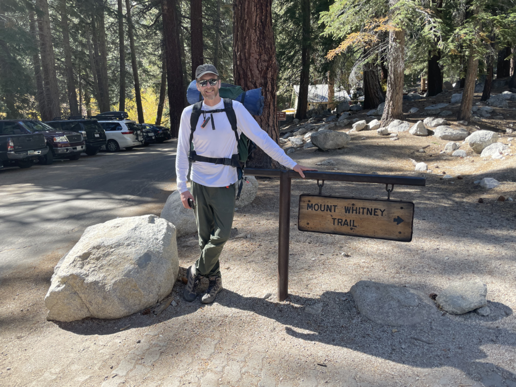
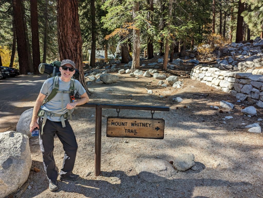
We hiked the 7 miles in and 4000′ up to Trail Camp. One of two camping areas along the trail (we passed Outpost camp on the way up as we were feeling good about our progress and energy levels). Trail Camp is in a rocky bowl surrounded on three sides by sheer granite peaks and boulders. Alien and beautiful. It was cold but it was calm and silent and the sky was amazing.
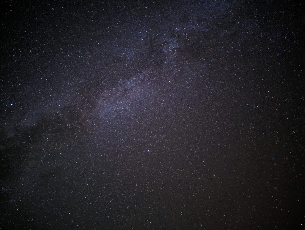
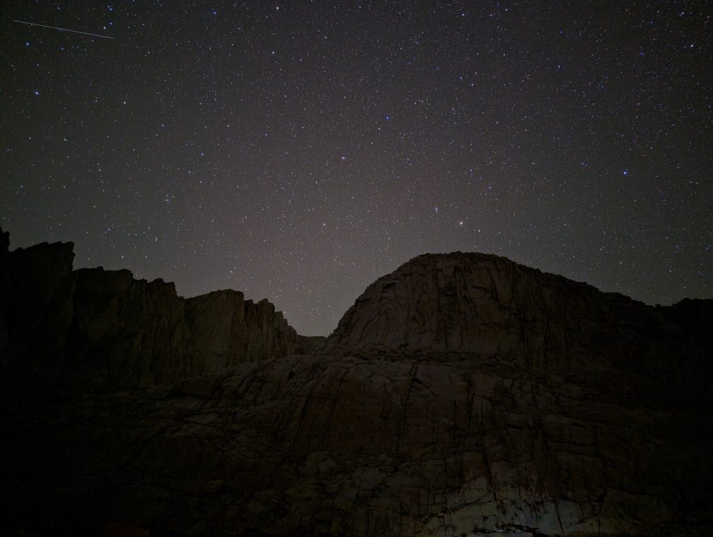
We filtered water from the nearby tarn to be ready in the morning. A quick warm dinner and some tea and then it was time to try sleep. Before we retired we watched as 5 or so sets of headlamps appeared to be coming down the mountain. We quickly realized that most of those people weren’t camping at Trail Camp and had to get all the way down to the trail head. Whitney is not a technical hike but you really do have to pay attention to your time and well being at altitude and make real decisions about whether you should go to the summit or not.
Sleep was restless and the morning came quickly. Awake at 6am, quick breakfast, and up we went.
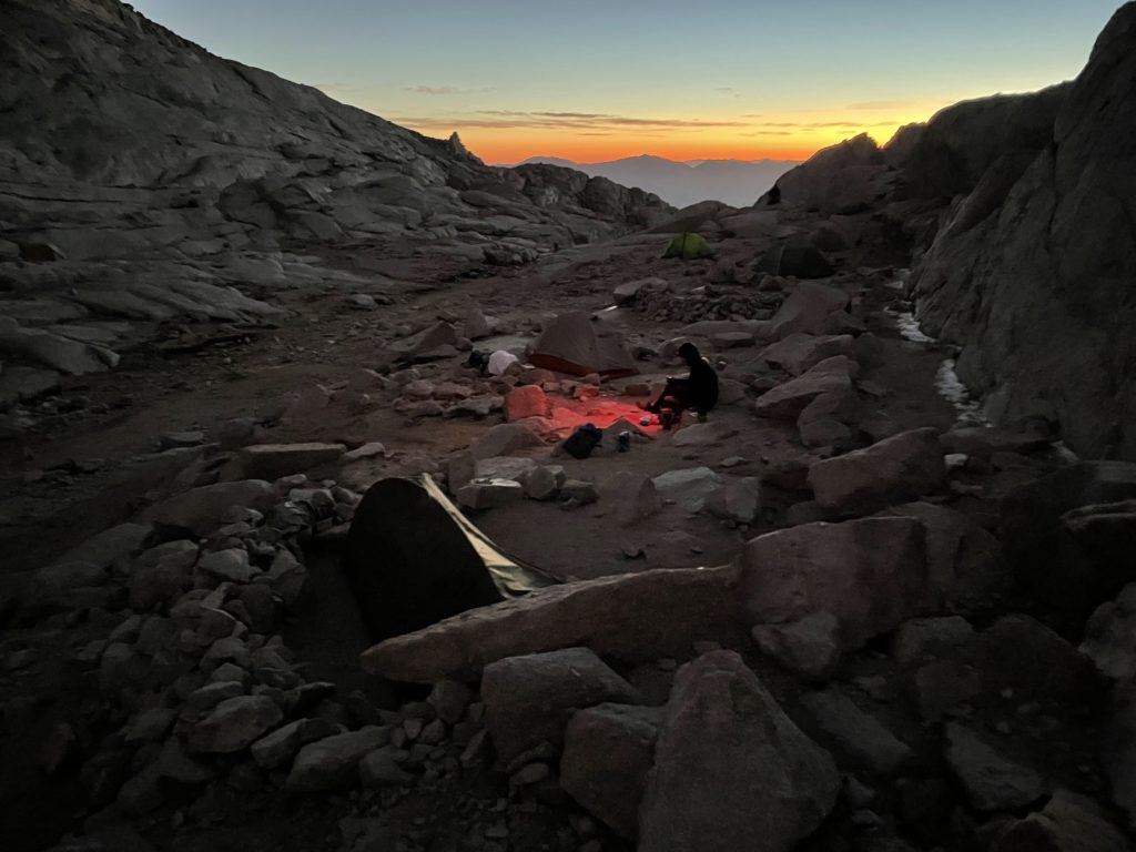
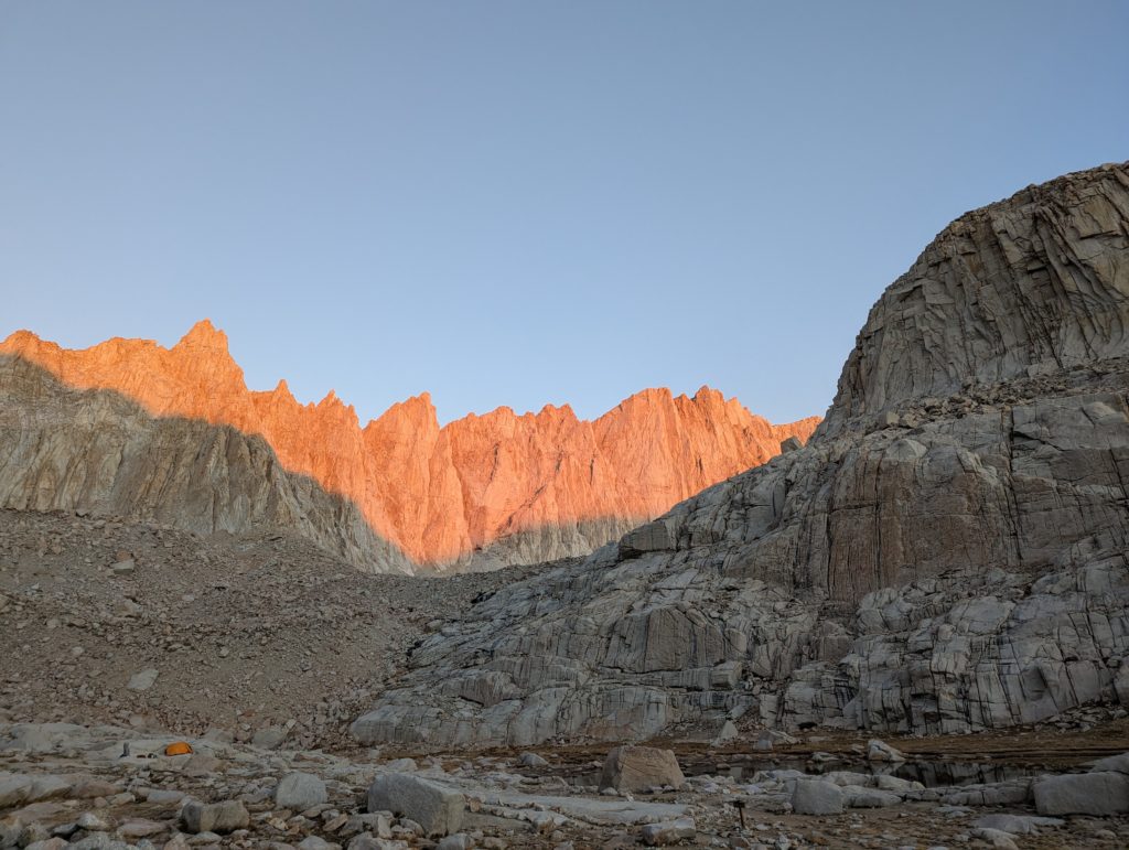
Just 5 miles and 2500′ of elevation to go.
We summited around 12:30p. Spent a half an hour grabbing required photos, signing the registry, and taking it all in.
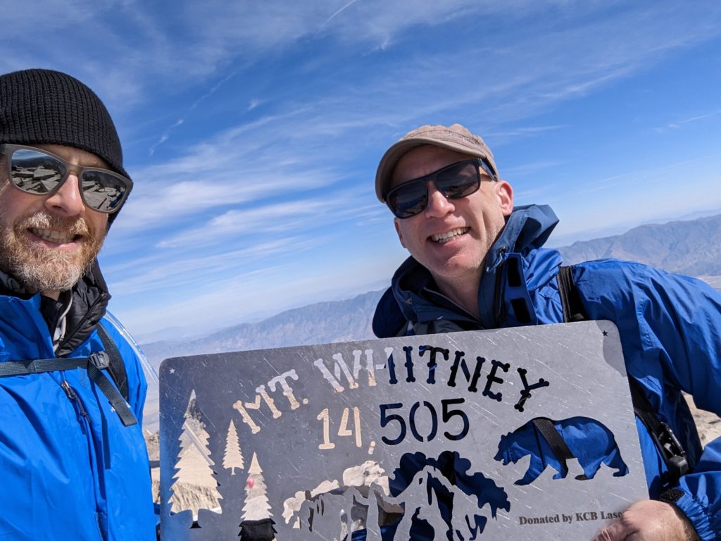
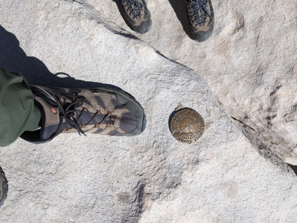
It was also at this point that I realized the altitude was messing with me. My stomach was churning a bit and I knew it was going to be a more uncomfortable walk down. We got our last pics and headed back down to Trail Camp. We still had to pack that up and put our big packs on for the rest of the trip back to the trail head. It felt good to get to lower elevations but we were ready to drop our packs and the end of the trail couldn’t come soon enough. We hit the trail head at about 7p. Exhausted. But what a journey.
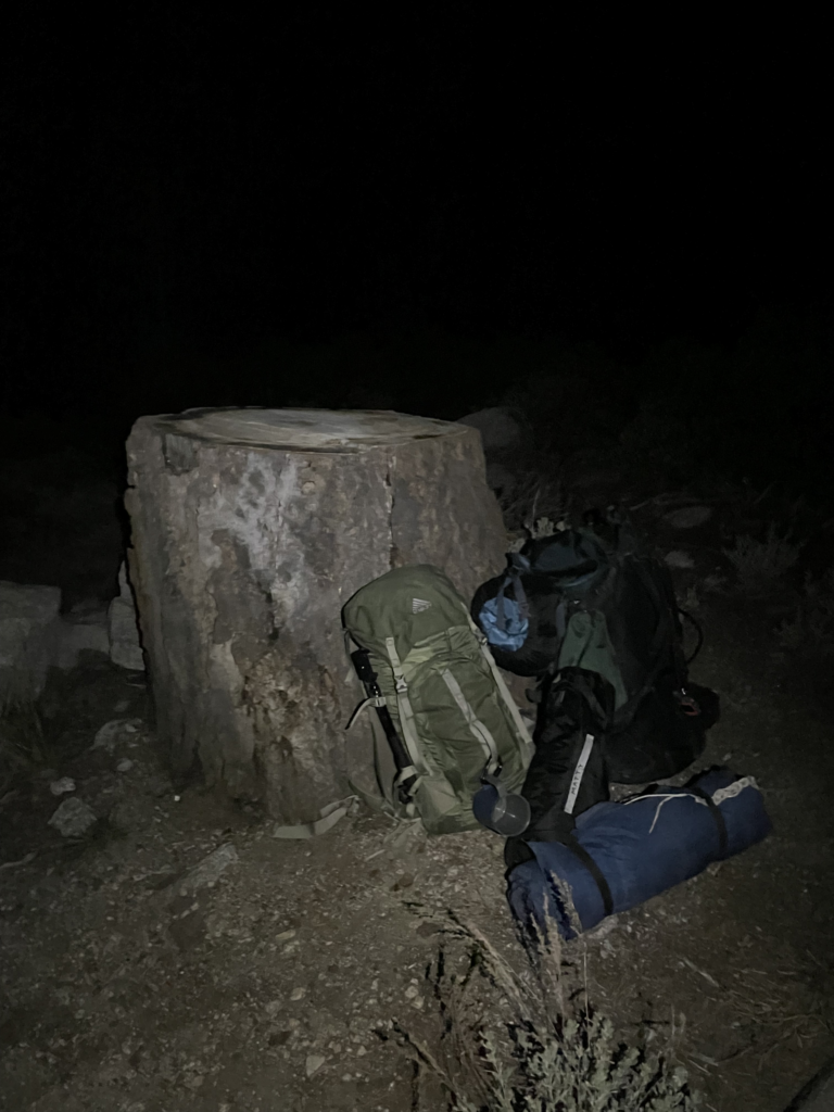
Beautiful? Yes. Tedious at times? Also yes. Worth it? Absolutely.
Thanks to Mat for being ready, able, awesome, and willing to do this with me.